 By admin
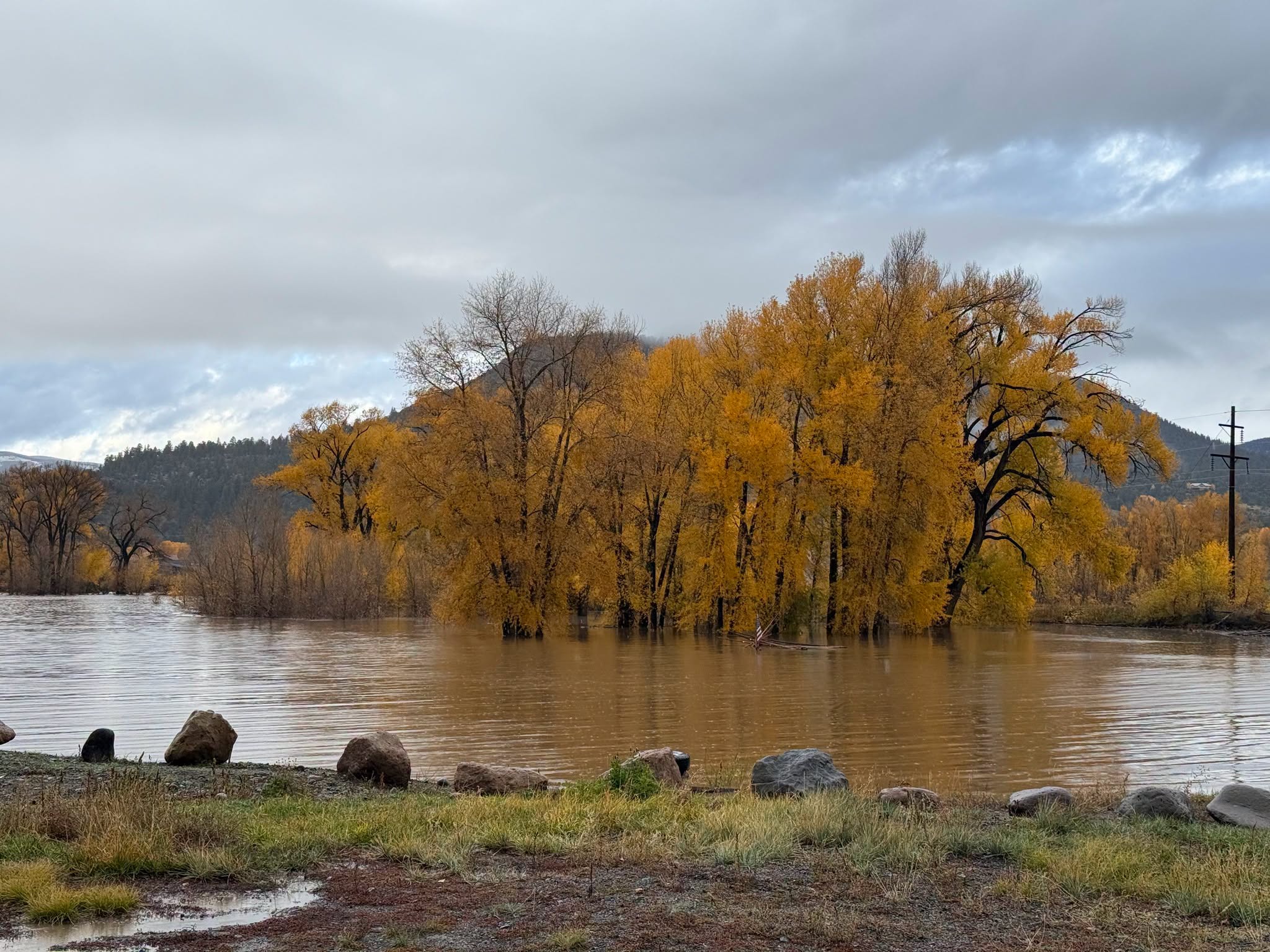
Parts of southern Colorado are recovering from major flooding caused by ongoing storms this week, with reports of 7-foot-high flood waters inside houses along the Conejos River in the San Juan Mountains and and flood waters rising 4 to 5 feet in homes in the South Fork area.
Gov. Jared Polis on Thursday night verbally declared a disaster emergency due to flooding in much of southern Colorado, including in La Plata, Archuleta, Montezuma, Dolores, Hinsdale, San Miguel, Ouray, San Juan, Mineral, Alamosa and Rio Grande counties, according to a statement from Polis’ office.
That declaration activates Colorado’s emergency operations plan and cues the Colorado National Guard to prepare to respond, help evacuate residents and begin search and rescue.
The flooding has not led to any injuries or deaths but has forced evacuations in an estimated 80 to 100 homes in the South Fork area of Rio Grande County, according to Linette Nye Schmidt, spokesperson for South Fork Fire Rescue.
South Fork is at about 8,200 feet in elevation along U.S. 160 west of Del Norte and sits at the confluence of the South Fork and Rio Grande rivers.
Mandatory evacuations around South Fork along the Rio Grande began Thursday with water levels on the rise and floodwaters in low-lying neighborhoods. Those evacuations remain in effect, Nye Schmidt said, and 15 people stayed Thursday night at the South Fork Community Building.
“We have teams going out to do damage assessments,” she said Friday morning. “We started to recede some, but it’s very slow to recede.”
The South Fork Fire Rescue also reported a missing bridge, Park Creek Bridge, that extended over Forest Service Road 380.
“As far as we know, everything else is still intact,” Nye Schmidt said, “but whether they’re safe is being assessed.”
Read more Colorado has enough spare winter electricity to replace furnaces with heat pumps, report says
Emergency crews are working on bringing heavy equipment into flood zones to start clearing debris from roadways. Sections of U.S. 160 to the east and west of Pagosa Springs remain closed Friday morning.
U.S. 550 is also closed in both directions between South Mineral and County Road 31, 4 to 9 miles north of the Silverton area, because of flooding.
Additionally, a 38-mile stretch of Colorado 17 remains closed from Antonio west to the New Mexico border because of flooding and safety concerns, the Colorado Department of Transportation said.
The South Fork Fire Rescue is urging anyone who is not a resident or a first responder to stay out of the area after people from outside the community wandered in to check out the flooding, Nye Schmidt said.
“We need them to stay out of the area,” she said, “both for their safety (and) responder safety and to ensure that the crews have access to the areas so that they can do the assessments and then make sure everybody’s out.”
Meanwhile, in Durango, the Animas River flows past Santa Rita Park were at 9,850 cubic feet per second Friday morning, up from around 1,170 cfs Wednesday evening because of ongoing storms in the area. Its height increased to nearly 8 feet Friday from around 3.5 feet Wednesday.
La Plata County sheriff closed the Animas River to all watercraft Friday, including paddleboards, kayaks, canoes, rafts and similar vessels. The river will reopen when conditions allow safe use, according to a La Plata County news release Friday.
This is a developing story that will be updated.